
Pelennor Fields: Battlefield survey
The great plain before the White City, here a 600-metre square of fields cut by walls, bridges and platforms, with trebuchets and supply carts standing in the open. The flattest of the Middle-earth maps: about 30 metres between its lowest and highest ground.
On the field
- Stone walls, bridges and wooden platforms
- Trebuchets and supply carts on the field
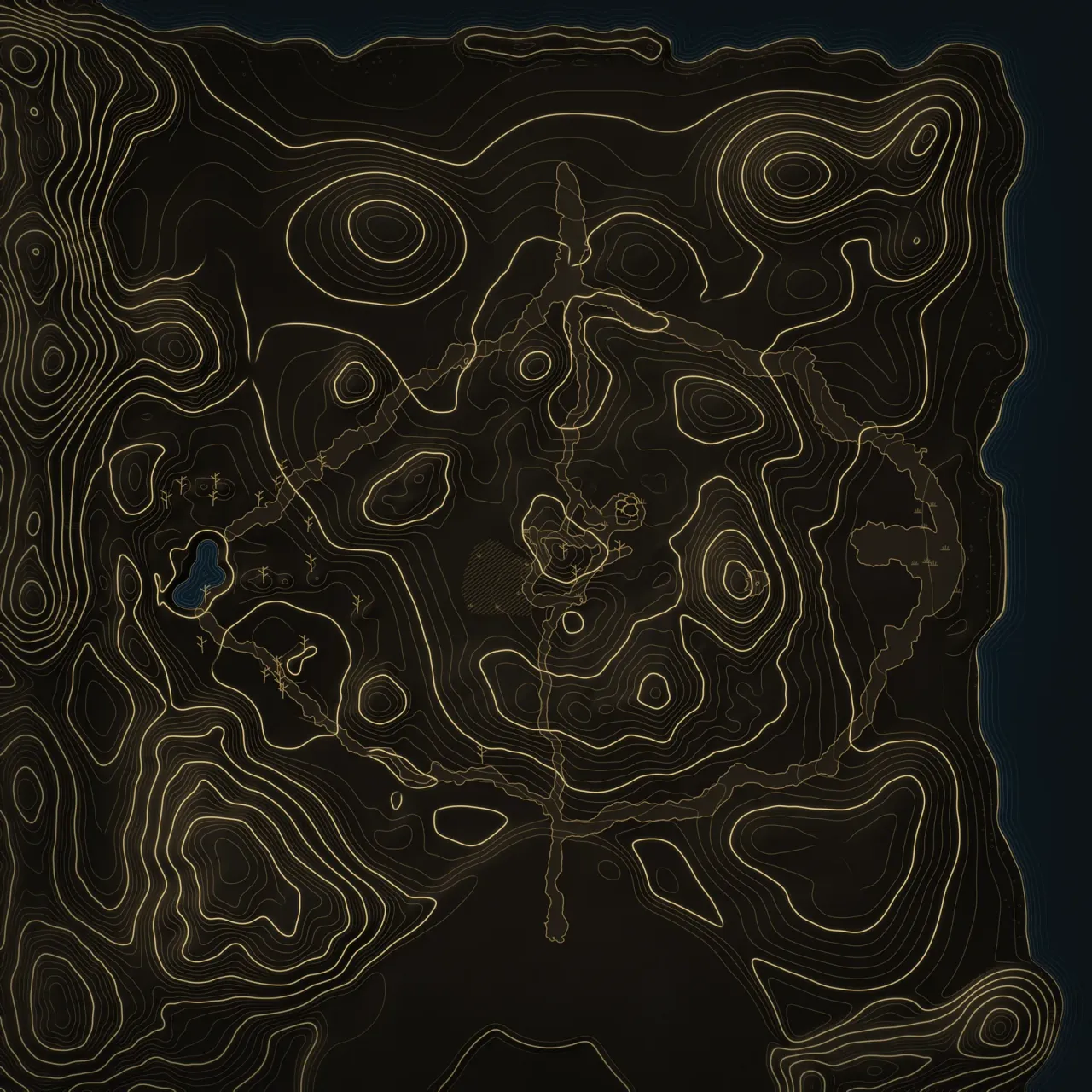
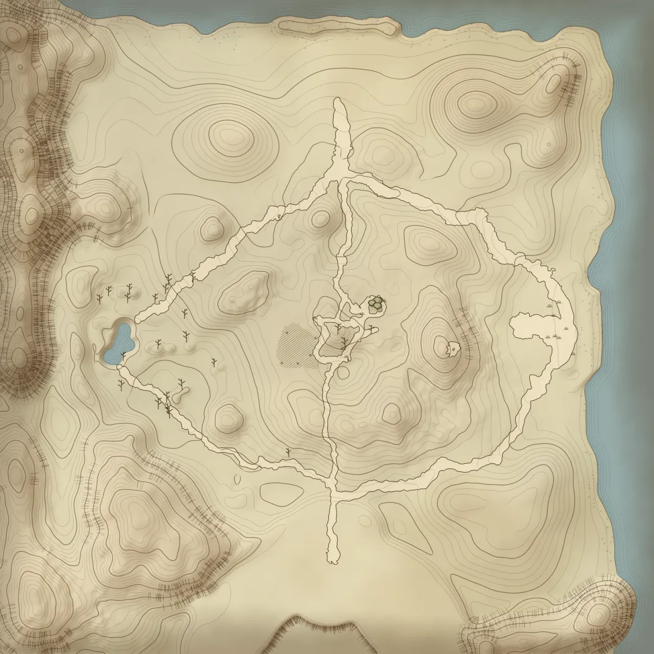
Alliance baseYour campTheir camp52 spawn pointsShadow baseTheir campYour camp48 spawn pointsABC
Raising the land…
Heights ×1.6 against the ground
Click two points to measure. Esc clears.
Under the lamp
Click two points to measure. Esc clears.Tap two points to measure.
The field report: Surveyed figures
- Survey frame
- 600 m square
- Height of land
- −6.1 to 23.8 m
- Spawn points
- Alliance 52 · Shadow 48
- Base to base
- 384 m · ≈ 65 s at a run
- In the module since
- 1.0.1.1 · Read the dispatch
From each base to each flag
| Flag | Alliance | Shadow | Closer |
|---|---|---|---|
| A | 277 m≈ 46 s | 264 m≈ 44 s | Shadow by 13 m |
| B | 209 m≈ 35 s | 175 m≈ 29 s | Shadow by 33 m |
| C | 306 m≈ 51 s | 298 m≈ 50 s | even |
Running times at 6 m/s, the pace measured on ValleyBattle: 318 m in 53 s. Real paths bend around walls, water and woods.