
OasisBattle: Battlefield survey
A desert lake fed by a canal, with sunken statues in its deep water and a fishing hamlet on its shore. The three flags were placed so that each one sits at a fair distance from both armies.
On the field
- A lake with sunken statues at its centre
- A canal, a stone bridge and a fishing hamlet
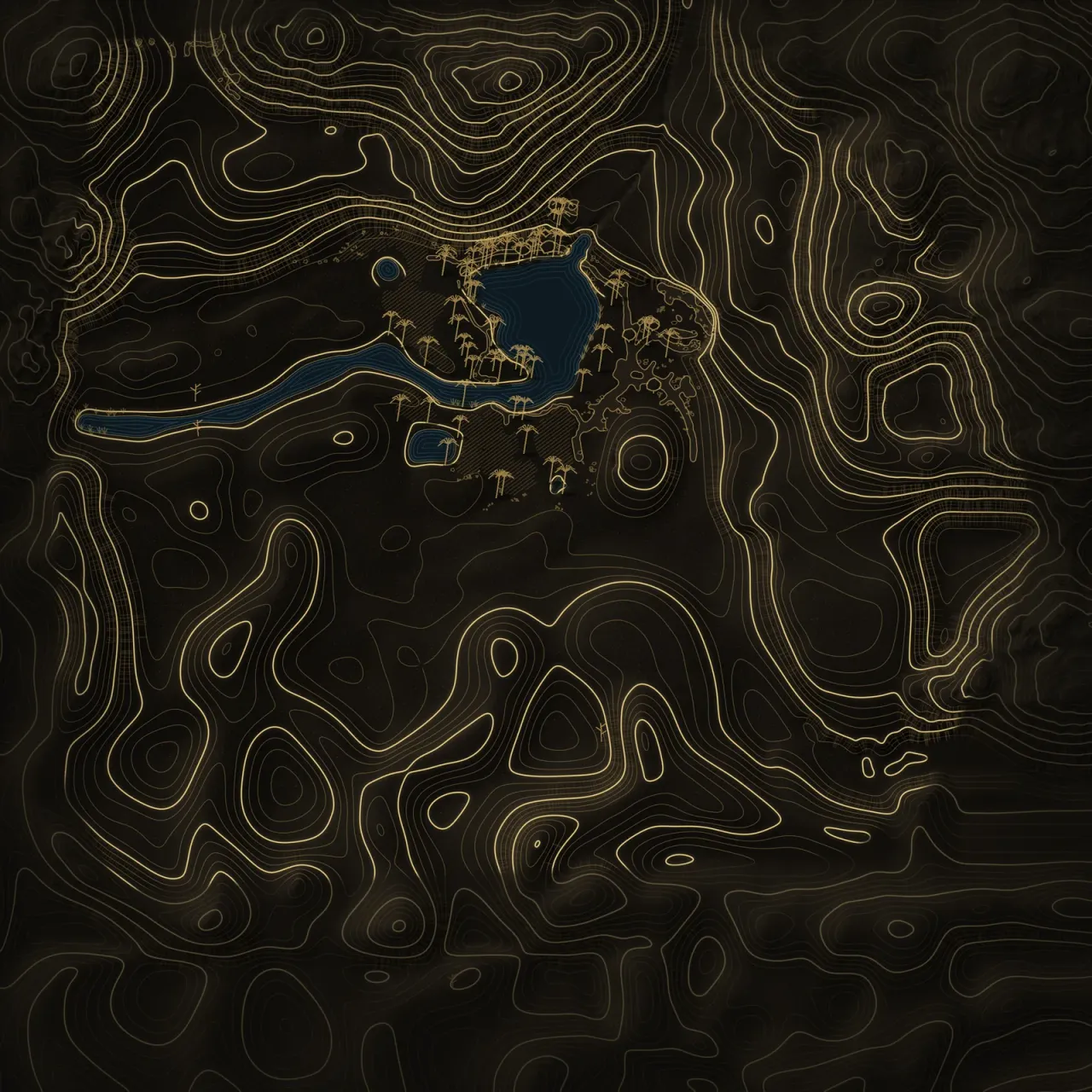
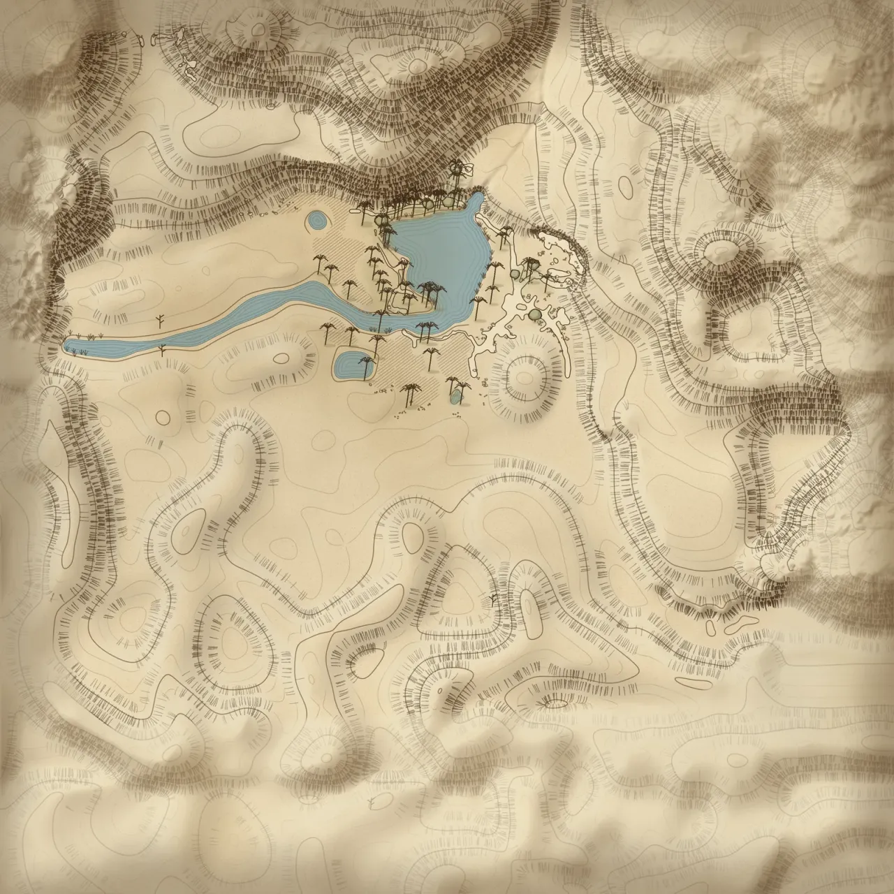
Alliance baseYour campTheir camp9 spawn pointsShadow baseTheir campYour camp9 spawn pointsABC
Raising the land…
Heights ×1.6 against the ground
Click two points to measure. Esc clears.
Under the lamp
Click two points to measure. Esc clears.Tap two points to measure.
The field report: Surveyed figures
- Survey frame
- 916 m square
- Whole terrain
- 1,200 × 1,000 m
- Height of land
- −1.7 to 152.5 m
- Spawn points
- Alliance 9 · Shadow 9
- Base to base
- 553 m · ≈ 90 s at a run
- In the module since
- 1.0.2.0 · Read the dispatch
From each base to each flag
| Flag | Alliance | Shadow | Closer |
|---|---|---|---|
| A | 332 m≈ 55 s | 281 m≈ 47 s | Shadow by 51 m |
| B | 276 m≈ 46 s | 278 m≈ 46 s | even |
| C | 302 m≈ 50 s | 342 m≈ 57 s | Alliance by 40 m |
Running times at 6 m/s, the pace measured on ValleyBattle: 318 m in 53 s. Real paths bend around walls, water and woods.
LayoutSpawn bases 553 m apart after the October 2026 re-alignment.