
Gundabad: Battlefield survey
Cliffs, caves and iron gates beneath the northern mountain. Among the steepest of the Middle-earth maps: about 135 metres of relief in a 500-metre square.
On the field
- Iron gates and cliff walls
- Cave mouths and corridors
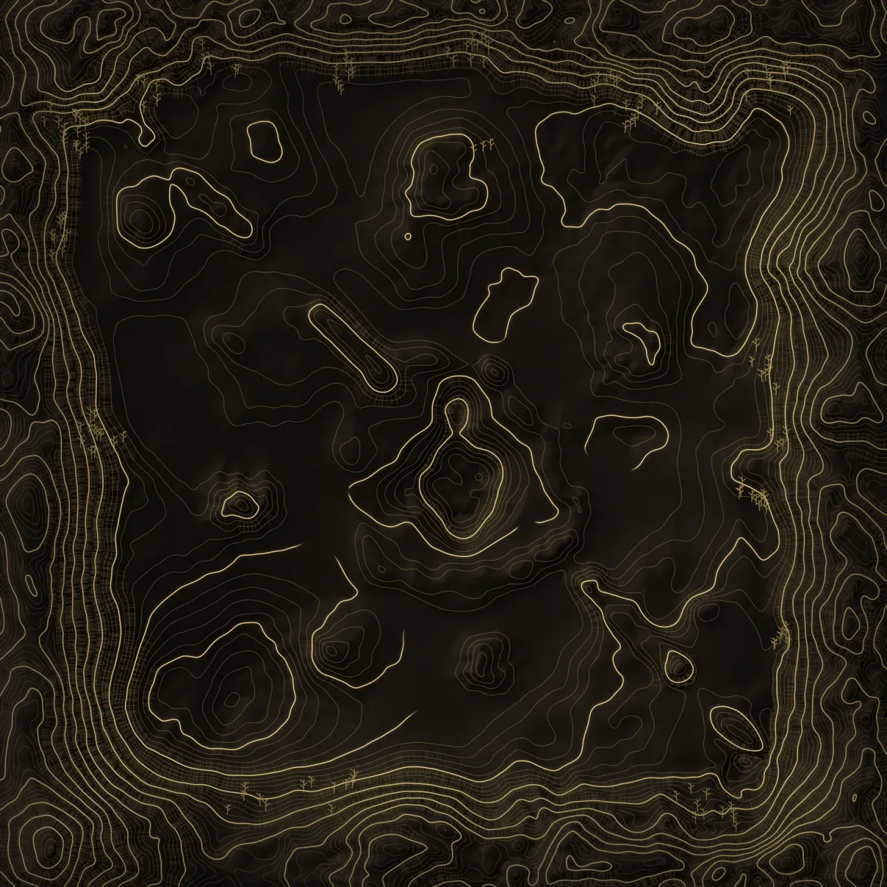
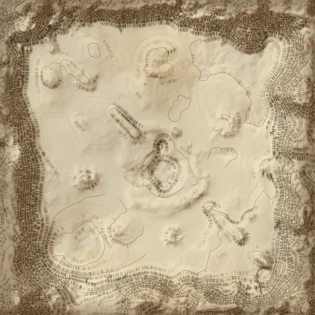
Alliance baseYour campTheir camp61 spawn pointsShadow baseTheir campYour camp60 spawn pointsABC
Raising the land…
Heights ×1.6 against the ground
Click two points to measure. Esc clears.
Under the lamp
Click two points to measure. Esc clears.Tap two points to measure.
The field report: Surveyed figures
- Survey frame
- 500 m square
- Height of land
- −15.9 to 117.8 m
- Spawn points
- Alliance 61 · Shadow 60
- Base to base
- 406 m · ≈ 70 s at a run
- In the module since
- 1.0.1.1 · Read the dispatch
From each base to each flag
| Flag | Alliance | Shadow | Closer |
|---|---|---|---|
| A | 243 m≈ 41 s | 249 m≈ 41 s | even |
| B | 186 m≈ 31 s | 221 m≈ 37 s | Alliance by 35 m |
| C | 279 m≈ 47 s | 281 m≈ 47 s | even |
Running times at 6 m/s, the pace measured on ValleyBattle: 318 m in 53 s. Real paths bend around walls, water and woods.